Ecology Risks
How to use Mycelia’s Ecology Risks tool.
On this page
New layout: Please note that the layout of Mycelia has recently been updated, so things might look a bit different to the way they do in the video(s) on this page. You can learn more about the changes here.
Overview
Mycelia’s Ecology Risks tool checks uploaded Biodiversity Metrics for common risk factors.
This is a significant step forward in how software can help in assessing ecological data. We’re very grateful to Greater Cambridge Shared Planning and MHCLG, who supported this development through the PropTech Innovation Programme.
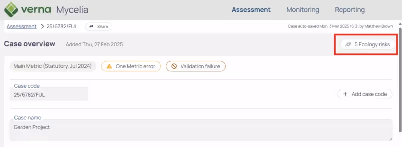
When you upload a Metric, you can find the Ecology Risks page from the Ecology Risks button just to the left of the map on the Case Overview page:
The risk factors are based on input from many local government ecologists across the country, who have told us about the issues they most commonly see when checking through Metric data.
The aims of this feature are to:
- Help ecologists to spot these risk factors without having to comb through the Metric data manually.
- Help others in LPA teams to get a sense of whether there are risks present which might need attention from an ecologist.
This doesn’t replace the need for expert ecological assessment – computers can’t replace ecologists. But it saves everyone lots of time, and flags risks that are otherwise hard to spot.
Current ecology risk checks
Below are the Ecology Risk checks currently available in Mycelia. These are being adjusted and added to over time based on your feedback (please email mycelia-support@verna.earth with any thoughts).
Baseline
Risks associated with the assessment of baseline habitats.
- High proportion of baseline area habitats in poor condition
- High proportion of baseline hedgerows in poor condition
- High proportion of baseline watercourses in poor morphological condition
- Potential for unrecorded open mosaic habitat
- Potential for unrecorded irreplaceable habitat
- Potential for unrecorded habitats of higher distinctiveness
- Broad habitat and habitat type do not match
- Non-ecologist has completed small sites metric
- Site survey/walkover out of date
- Walkover and baseline habitat photo date mismatch
- Incorrect strategic significance for baselines if an LNRS has been adopted
Interventions
Risks associated with the proposed interventions, e.g. creations and enhancements.
- Creation or enhancement of traditional orchard
- Development footprint may be missing
- Interventions targeting good condition with high or very high difficulty
- Wetland proposed when there is no wetland in the baseline
- Creation of vertical habitats
- Broad habitat and habitat type do not match
- Off-site interventions with no referenced baseline
- Proposed new post-development habitat in good condition
- On-site habitats targeting good condition
- Incorrect strategic significance for post-development if an LNRS has been adopted
Losses
Risks associated with loss of important or irreplaceable habitats.
- Metric indicates necessary bespoke compensation has been agreed
- Metric indicates necessary bespoke compensation has not been agreed
- Permanent loss of natural watercourse
Size, length, trees
Risks associated with area, length, or numbers of trees.
- Individual trees without supporting comments
- Habitats with zero size
- Missing habitat reference numbers
- New medium or larger trees proposed post development
- Very small habitat area or length